
Tysons Previous Residents by Era
The record trail for prior residents has two parts. Land and tax records identify owners, transfers, and the legal parcel. Directories, telephone books, newspapers, censuses, and obituaries can help identify people associated with the address during a particular period. None supplies every name. A current parcel card is not a household list, and a deed can establish title without showing who occupied the property. Combining dated sources gives the most defensible history.
Fairfax County is the relevant custodian. Tysons has no separate municipal clerk or land office. Begin with the newest source available and step back only after saving the map number, book/page, legal description, and exact postal label. That prevents a search from being pulled off track by a McLean or Vienna address label within the same broader Tysons geography.
| Source | Years it covers | Where held | What it can show |
|---|---|---|---|
| iCare assessment parcel card | Current assessment and sales data | Fairfax DTA online | Owner, mailing and situs addresses, map number, book/page, legal description |
| Land records and deed books | 1742–present | CPAN, courthouse terminals, Historic Records Center | Grantor, grantee, transfer references, legal description, plats and easements |
| Deed indexes | After 1866 stated on CPAN or terminals | CPAN and Fairfax Circuit Court Research Room | Routes between deed books and named parties |
| Land-tax books | HRC 1851–1980; Library of Virginia microfilm 1782–1927 | HRC and Library of Virginia | Historical owner, acreage, value, and tax context |
| Regional directories and phonebooks | Confirmed local examples vary | Virginia Room and library databases | Dated household or address clues where included |
| Federal census | Released after 72 years | Federal census access and library databases | Household snapshot on the census date |
| PLUS and historical land-development files | Current portal and legacy records | Fairfax PLUS and LDIP | Permit, project, party, parcel, site, and date context |
The age of the house determines the first stop. A recent unit may have more useful parcel, permit, and deed references than a printed directory. For an older tract, deed books, tax records, maps, and the Historic Records Center can carry the trail farther back.
Freeze the Tysons Parcel First
The Fairfax iCare assessment site is the current starting point for previous residents research. It searches by address, map number, or map. The parcel card can show the owner, owner mailing address, property location or situs, map number, book and page, tax district, land-use code, acreage, zoning, legal description, sale data, and refresh information. The DTA says ownership and sales information updates twice weekly. That is current administrative data, so copy the values with the access date before moving backward.
Keep the owner mailing address separate from the property location. A mailing address can belong to a corporation, estate, property manager, attorney, or a place far from Tysons. The situs is the parcel’s location. Neither field proves who occupied the address. The legal description and book/page are the durable bridges to older records because a street name, postal label, subdivision, or unit arrangement can change.
Some owner information can be withheld from iCare’s internet display. When a field is absent, do not infer a name. Contact the Department of Tax Administration or continue through the land-record access route using the parcel identifiers that are available.
- Situs address
- The physical property location shown on the assessment record. It is different from the address used for tax correspondence.
- Map number or PARID
- The parcel identifier that ties assessment data to map layers and helps distinguish similar addresses.
- Legal description
- The lot, block, tract, subdivision, or metes-and-bounds description carried in title records. It is more stable than a street label.
Note: Copy the map number and legal description before changing portals, because they remain useful when an older deed lacks the current street address.
Tysons Past Owners Through Deeds
After the parcel card supplies a current owner and book/page reference, use the Fairfax Circuit Court Land Records research route. CPAN is the subscriber online path. The courthouse Research Room offers public terminals, which are the no-subscription fallback. The county says land-record documents run from 1742 to the present, with deed-book indexes after 1866 on CPAN or courthouse terminals. Original deed books from 1742 to 1942 are held by the Historic Records Center.
A deed trail follows title, not a street number. Search the current owner as the grantee, the person or entity who received the parcel. The prior seller is the grantor. Then search that grantor as an earlier grantee. Each deed may lead to an instrument number, book/page, earlier reference, plat, or legal description that carries the chain backward. A transfer may show an estate, trust, corporation, or family name without proving that all named parties lived on the land.
- Search the current address in iCare and save the owner, map number, book/page, property location, and legal description.
- Open CPAN or a courthouse terminal and find the purchase deed under the current owner as grantee, using the date range and legal description when available.
- Copy the instrument number, recording date, grantor, grantee, prior-deed reference, plat or easement references, and full legal description.
- Search the seller or grantor as a grantee in an earlier period, then repeat the same review for each transfer.
- Move to Historic Records Center books or indexes where the online route or the modern street address no longer reaches the needed year.
- Grantor
- The party transferring an interest in property in the recorded document.
- Grantee
- The party receiving that interest. In a purchase deed, the current purchaser is normally the grantee.
- Chain of title
- The dated sequence of recorded transfers traced backward through the same legal parcel.
Tysons Address Record Cutoffs
Fairfax’s deep land-record history is a strength, but it has real breaks. Land records start in 1742. CPAN’s information package states land-record images from 1742 to present, index data from 1980 to present for books 5391 and up, and index-book images from 1742 to 1979 for books A1 through 5390. The county also states that deed-book indexes after 1866 are available through CPAN or courthouse terminals. When a search crosses an index boundary, the method changes, not necessarily the property’s history.
The Historic Records Center notes missing books in two deed series, and county order books are missing for several early spans. Early term papers and judgments are largely incomplete because of Civil War military-occupation losses. Land-tax books from 1851 to 1920 are described as incomplete and fragile; only three original volumes can be pulled at a time and no copies are made from originals. A no-result should therefore be logged as a coverage issue before it is treated as a negative finding.
The Historic Records Center holdings page is the source for the county’s older deeds, tax books, probate, vital, and chancery materials.
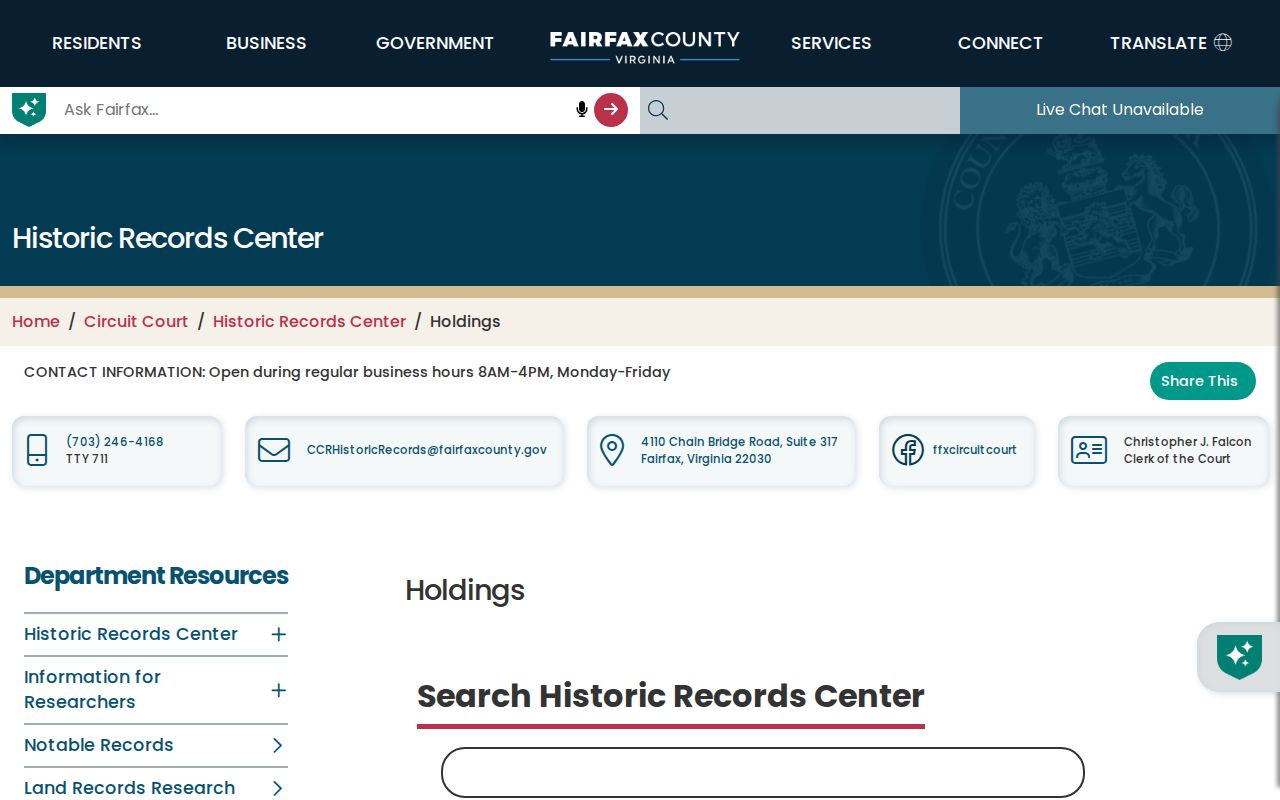
The holdings capture is a useful reminder that historical access shifts among online images, courthouse terminals, archival books, and appointment-based research.
Tysons Past Households by Address
Owners are only part of a property history. To identify past residents or people living at the address, pair the deed timeline with regional city directories, telephone books, census schedules, newspapers, and obituaries. The Virginia Room has city directories and telephone books, local newspapers, a microform reader, and a CPAN station. Confirmed bibliography titles include Hill’s Fairfax City Directory in 1923 and 1963 and Hill’s Alexandria Suburban Fairfax County Directory in 1966. Catalog results show community phonebooks for 1993, 1996, and 1997. No complete Tysons reverse-directory run was confirmed.
Search each regional volume by name and address, keeping McLean, Vienna, Fairfax, Alexandria, and Washington titles in play. An entry can provide a dated address, telephone, spouse notation, or other publisher-specific clues. The household content and abbreviations must be taken from the actual volume. The Tysons city directory collections page describes the library path and the confirmed title limits without treating regional examples as a complete Tysons series.
- Set the deed or tax-book year that needs a household check.
- Search the nearest confirmed regional directory title by name, address, and spelling variants.
- Record the exact edition, page, address, and any notation using that volume’s own key.
- Compare surrounding directory years, then use the federal census released after 72 years for a dated household snapshot.
- Check newspapers, probate, cemetery material, and obituaries as endpoints or move evidence, while preserving their publication dates.
Tysons Tax and Probate Trails
Tax and probate records can explain a gap between transfers. Fairfax HRC land-tax books cover 1851–1980 and personal-property tax books cover 1851–1939. The Library of Virginia has land-tax microfilm for 1782–1927. Tax material can identify a historical owner, acreage, value, or changing parcel description, but it does not establish every resident. Follow the same legal description and map clues used in the deed chain.
Probate can close a property trail when an owner died or an estate transferred an interest. The Historic Records Center holds original Will Books from 1742 to 1935. CPAN has digitized will books, and post-1935 probate indexes are available through CPAN or the Land Records Division. Probate is filed in the circuit court for the county where the decedent resided, so a mailing-city label should be checked against the actual legal locality before searching.
Newspapers and cemetery sources may supply a final date or family connection. The Virginia Room’s Historical Newspaper Index, microform, Washington Post Historical access, and Virginia Chronicle material are the documented local channels. No stand-alone official Tysons obituary index was located, so ask Virginia Room staff about an obituary card file or collection rather than assuming a complete database exists.
Note: An obituary or probate mention is a dated historical clue and should be matched against the parcel and deed timeline.
Tysons Address Changes Through Time
Modern Tysons redevelopment makes address change a major part of the backward trail. Fairfax GIS’s Master Address Repository, or MAR, records address-effective, change, and expiration dates, along with street components, ZIP, jurisdiction, subdivision, block or phase, and parcel PIN. Use MAR to test an old number or street form before deciding a directory or deed is unrelated. The research found no official Tysons-wide renumbering year, so an address change should be documented record by record rather than guessed.
Fairfax PLUS adds development context. Public users can search by site address, parcel number, record or project information, dates, license information, and party fields. It replaced legacy FIDO, PAWS, and ProjectDox beginning October 31, 2022; historical records not found in PLUS can be pursued through the Land Development Information History site. A permit applicant, agent, or contractor is not automatically a prior resident, but a dated project can help explain a building change, parcel split, addition, demolition, or new address arrangement.
The Library of Congress Sanborn search guide explains the map collection’s location, date, sheet, notes, and image fields.
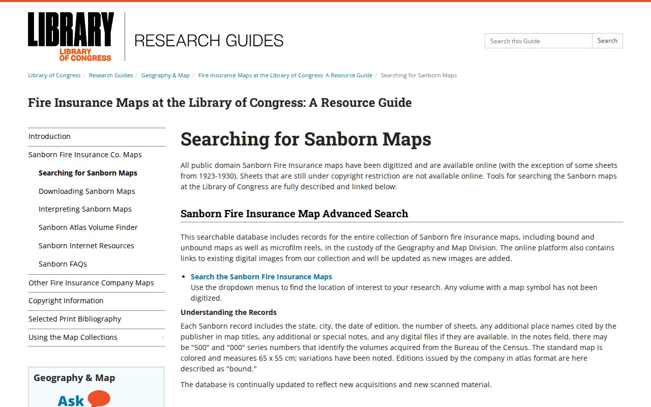
No Tysons-specific Sanborn edition was located, so use the guide to test coverage and turn to Fairfax aerial imagery, historic maps, and MAR when the town-based search is empty.
Fairfax GIS announced updated 2025 aerial photography and a July 2026 improved MAR release. Together, those tools can help compare a current parcel footprint with a later redevelopment phase, but neither replaces the deed’s legal description.
Tysons Postal Labels and Parcel History
Tysons research needs three place labels in view: Tysons as the CDP, McLean or Vienna as common postal labels, and Fairfax County as the legal jurisdiction. The two confirmed ZIP areas are 22102 and 22182, but each extends beyond the CDP. A parcel card can show Vienna 22182 with Planned Tysons Corner zoning or McLean 22102 for a Tysons-area parcel. The postal city is an address clue, not a different county record system.
For old records, preserve the address exactly as written, then compare the legal description, parcel identifier, subdivision, book/page, and MAR dates. This is more reliable than forcing an early directory or tax-book spelling into a modern street format. It also guards against mistaking a nearby Fairfax County parcel for the one under study.
The strongest prior-resident result is a transparent timeline: parcel details at the start, deed and tax references in the middle, and household sources labeled with their dates and limits. That trail remains useful even when a directory year is missing or a historical book contains a documented gap.